
POLARIN GIS
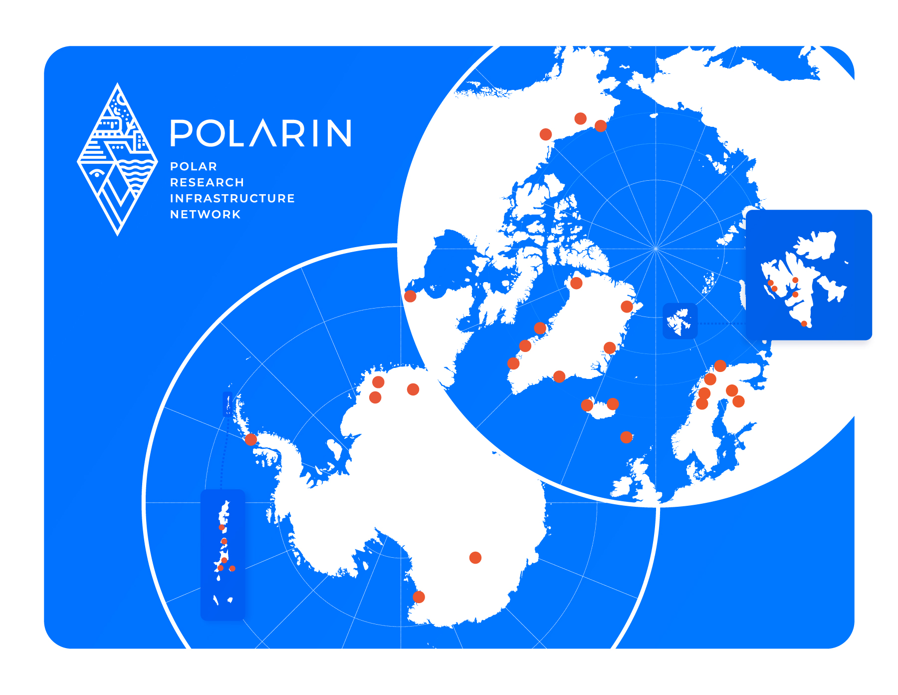
Welcome to POLARIN GIS
POLARIN is an international network of polar research infrastructures and their services aiming at addressing the scientific challenges of polar regions.
POLARIN GIS is a web-based tool that helps scientists identify POLARIN research infrastructures suited to their specific research needs. The platform provides information on POLARIN research stations and research vessels offering Transnational Access and Remote Access opportunities. A range of filtering functions and thematic maps allows users to search for infrastructures based on scientific requirements, facilities, and operational characteristics. Through the interactive map, users can access detailed information about individual stations and vessels, including available facilities, services, and contact details. For research stations, the system also provides information about the surrounding climate and environment to support research planning and site selection.

This project has received funding from the European Union’s Horizon Europe programme under grant agreement No. 101130949.